
During the first hours of the afternoon, Ian has gained in organization and intensity and in the images of the meteorological satellite and the Cuban radars; the outermost bands of the system can be seen crossing over a large part of the country, mainly towards the south of the territory.
This afternoon, there have been reports until 2:00 pm of the occurrence of showers and rains, with strong gust winds that have reached up to 66 kilometers per hour at the weather station located in Batabanó, Mayabeque province.
The system's maximum winds have continued to increase to 135 kilometers per hour with higher gusts, so it remains a Category 1 hurricane on the Saffir-Simpson scale. While the minimum central pressure has dropped to 976 hectoPascal. Hurricane Ian is moving in a near north-northwesterly direction at a rate of 20 kilometers per hour.
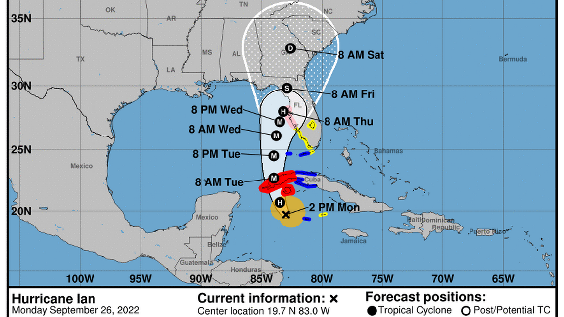
At 3:00 p.m. today, its central region was estimated at 19.9 degrees North latitude and 83.1 degrees West longitude, a position that places it 175 kilometers south of Carapachibey, Isla de la Juventud and about 295 kilometers southeast of the San Antonio Cape, western end of Pinar del Río.
In the next 6 to 12 hours, Ian will continue to approach Isla de la Juventud and southern Pinar del Río, transiting over a region with favorable conditions for rapid strengthening.
The clouds associated with the external bands of Ian have remained with showers and rains at intervals affecting a large part of the country, which will increase in the afternoon and evening hours and will be strong and intense in some locations in the western half of Cuba.
With the proximity of Ian to the west of Cuba, the speed of the winds will increase from the afternoon and will reach tropical storm force, with speeds between 65 and 80 kilometers per hour, with higher gusts, starting in the south of Isla de la Juventud and from the night in the west. In the early morning, they will reach hurricane strength in Pinar del Río.
Strong swells are occurring in the south of Isla de la Juventud and swells on the south coast of Pinar del Río, which will increase to strong swells with wave heights between 5 and 7 meters, except in the Gulf of Batabanó where the height of the waves will be between 1.5 and 2.5 meters. Coastal flooding will continue in the south of Isla de la Juventud and will begin on the south coast of Pinar del Río, Artemisa and Mayabeque.
The next tropical cyclone warning for this system will be issued at 6:00 p.m. today.